EXPLORE THE GEOSPATIAL INDUSTRY THROUGH THE VISIONS OF THOSE INVOLVED…
- 3D Visualization
- 2024
- A Planet of 3 Billion
- academia
- Adam & Darryl
- Alex Waleczek
- Analysis Software
- Analytic Folk
- Andy Dearing
- Announcement
- Arturo.Ai
- Beyond the Map Tiles
- Camera Technology
- careers
- Cartography
- Chris Tucker
- Chul Gwon
- Civil Air Patrol
- Civil Applications Committee
- Climate
- Cloud Infrastructure
- Consulting Services
- CosmiQ Works
- COVID-19
- Critical Infrastructure
- CrunchyData
- Cyber Security
- Darryl Murdock
- Decoding Geo
- Defense Contractors
- DevGlobal
- Disaster Management
- drones
- Eagleview
- Education
- Event Analysis
- Event Content
- events
- FBI
- FedCiv
- FedGeoDay
- FedGeoDay2022
- FedGeoDay 2023
- FedGeoDay 2024
- foss4g
- foss4g 2024
- General Discussion
- Geodesy
- Geofencing
- GeoFutures
- Geography 2050
- Geography 2050 (2020)
- Geography 2050 (2021)
- Geography 2050 (2024)
- GEOINT
- GEOINT 2021
- GEOINT 2022
- GEOINT 2023
- GEOINT 2024
- GEOINT 2023
- Geosaurus
- Geospatial
- Geospatial Law
- Geospatial Visualization
- GETEACH
- Google
- Government
- Healthcare
- High School
- Hyperspectral
- IEEE GRSS
- Imagery Analysis
- Imagery Collection
- Industry Limelight
- Infrared
- John-Isaac Clark
- Josh Williams
- Julia Wagemann
- Kit Rackley
- Landsat
- Late Night Geo
- Lego
- Let's Talk Geo
- LiDAR
- Location Services
- Machine Learning
- Map
- Mark Tatgenhorst
- Maxar
- Metaverse
- Mike McGowan
- NASA
- National Geodetic Survey
- New Light Technologies
- New Zealand
- NGA
- Nick Weir
- NOAA
- NRO
- NUVIEW
- Oak Ridge National Laboratory
- OGC
- Olivia Powell
- Open Geospatial Consortium
- open source
- open-source
- opengeo
- openstreetmap
- personal development
- Places
- PostGIS
- Press Release
- Public Domain Map
- QGIS
- Radar Labs
- Recap
- Remote Sensing
- Research
- RF Collection
- Ryan Lewis
- SAR
- Satellites
- Security
- Sensor Showdown
- SIGINT
- Skyris
- Space Companies
- SpaceNet
- SpaceNet 8
- Spatial STL Advisors
- St Louis
- St. Louis
- stereotaxy
- STLGEO
- Synthetic Data
- T-Rex
- Talbot Broooks
- TJHS
- Treasury
- UAS/UAV
- urban planning
- US Census Bureau
- USGS
- VTF2020
- Weather
- WEM Council
- Women in Geospatial+
- workforce
Community Discussions,
Video,
Podcast
Adam Simmons
Community Discussions,
Video,
Podcast
Adam Simmons
GEOSAURUS UNLEASHED - Disaster Preparedness and Response Panel
This episode is focused on Disaster Preparedness and Response with a panel of valued professionals. Moderated by T-REX's new Geospatial Director, Col. Kevin Golinghorst the panel includes the Metropolitan Sewer District (MSD) Brian Hoelscher and the U.S. Army Corps of Engineers (USACE) Matt Duke.
Community Discussions
Adam Simmons
Community Discussions
Adam Simmons
An Iranian Maritime Case Study
Community Discussions
Adam Simmons
Community Discussions
Adam Simmons
Relief Shading in Blender - Tips and Tricks with Peter Atwood
Community Discussions
Adam Simmons
Community Discussions
Adam Simmons
Google Earth Engine Intro with Josh Williams
Community Discussions
Adam Simmons
Community Discussions
Adam Simmons
COVID-19 Mapping Algorithm with Jeff Pearson
Community Discussions
Adam Simmons
Community Discussions
Adam Simmons
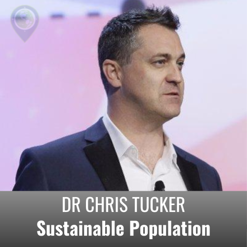
Sustainable Population - Chris Tucker
If you are interested in the world around you, concerned about the fate of the planet, and seek insights that can help you become part of the solutions that would put us on a path to a resilient future rather than echoing sound-bites, then join the conversation on this special Earth Day presentation.